| The United States Space Force (USSF) is committed to maintaining a healthy GPS constellation that continues to deliver the “gold standard” of PNT availability and reliability throughout the world. | |
|
|
| 
| | A new letter has been sent to both President Biden and congressional leadership by 90 groups opposed to Ligado’s plans to launch a terrestrial network in the L-band used by GPS. | |
|
| 
| | Orbital Insight will integrate Satellogic’s high-resolution multispectral imagery, hyperspectral imagery, and full-motion video into its GEOINT platform. | |
|
| 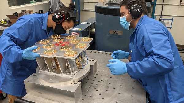
| | Xona has completed environmental testing for its upcoming demo mission, a significant step towards realizing its high-performance commercial navigation system. | |
|
| 
| | The U.S. Army Corps of Engineers, St. Louis District, has contracted with Aero-Graphics for photogrammetric and lidar surveying. | |
|
|
| 
| | A mapping service provider birthed during the 2014 Ukraine conflict is tracking the current war through crowdsourced photos, Tweets, posts, news and other channels. | |
|
|
 | |
| Recently, various research and publications across the globe are pointing out the rising trend of Software Defined Architecture for GNSS. Software Defined Radios (SDRs) are allowing a quick and simple implementation of wireless receiving and transmitting systems by combining the power of Digital Signal Processing (DSP) with the flexibility of programmable hardware. During this webinar, each speaker will examine some of the work being done by the organizations leading the way on this migration to a software-defined architecture. | Registering gives you access to this webinar even after it airs! | |
 | Date: May 12
Time:1 p.m. Eastern
Duration: 60 minutes + time for Q&A
Sponsored by: Orolia
Lisa Perdue, Product Line Director GNSS Simulation at Orolia
M. Zahidul H. Bhuiyan, Research Professor at the Department of Navigation and Positioning at Finnish Geospatial Research Institute (FGI)
John Fischer, VP Advanced R&D, Orolia
| |
|
|
|