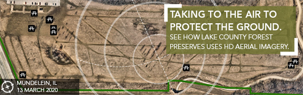
Is it see the forest for the trees or see the trees for the forest? Either way, Lake County Forest Preserves (LCFP) is seeing everything they need to plan and keep vegetation under control. Thanks to HD aerial imagery from Nearmap, LCFP accesses frequent captures of their county parks to help with assets and show change over time. "Using Nearmap imagery weâve been able to monitor an area we had burned to control the spread of phragmites. In evaluating an area that had not yet been burned, the phragmites were easily distinguishable. We could even see the flower heads on a plant." - Dave Cassin, Superintendent of Natural Resources - Lake County Forest Preserves Take a look at how LCFP is using aerial imagery to protect the environment, as well as using man-hours more efficiently. |